US and India launch next-generation satellite to forecast natural disasters (video)

The USA and India have launched a new generation NISAR satellite, which is capable of detecting the smallest changes on the Earth’s surface. This satellite opens up new possibilities for forecasting natural disasters and will provide the scientific community with continuous data on changes in soil, ice cover and other critical indicators. About this informs CNN.
NISAR (NASA-ISRO Synthetic Aperture Radar) is the first joint satellite mission between the US space agency NASA and the Indian Space Research Organization (ISRO). The device is equipped with a double radar system — in the L-band with a wavelength of 25 cm and the S-band with a wavelength of 10 cm. Thanks to this, the satellite is able to record changes even in hard-to-reach conditions – in dense forests, on agricultural lands and in areas of permafrost.
The launch was carried out from the Satish Dhawan Spaceport in southern India using a GSLV-F16 rocket. The satellite makes 14 rotations per day, which allows it to cover all continental and icy regions of the planet twice in 12 days.
As Wendy Edelstein, deputy project manager at the Jet Propulsion Laboratory (JPL), noted, the two radar systems work in tandem, complementing each other, providing accuracy and depth of data unattainable individually. This allows detecting microdeformations of the Earth’s surface, tracking signs of possible volcanic eruptions or changes in soil moisture.
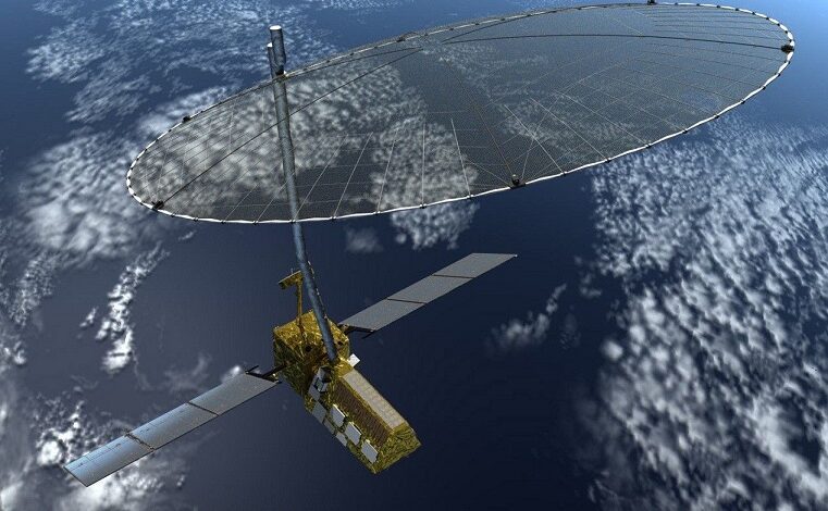
The satellite has an antenna that reflects microwave signals, which makes it possible to observe regardless of the time of day and weather conditions – through clouds, rain or snow. NASA emphasizes that such technology can play a crucial role in predicting earthquakes and reducing the consequences of natural disasters – floods, hurricanes or fires.
The idea of the NISAR mission was proposed back in 2014 in accordance with the recommendations of the US National Academy of Sciences. NASA is responsible for some of the equipment and the antenna, while ISRO is responsible for the S-band radar, satellite design and launch. Engineers from both agencies worked across 13 time zones and integrated systems despite pandemic restrictions. The goal of the project is to provide scientists around the world with free access to NISAR data for monitoring climate change, earthquakes and other natural disasters and their consequences.


